Public Interest · July 2026
crisisplan
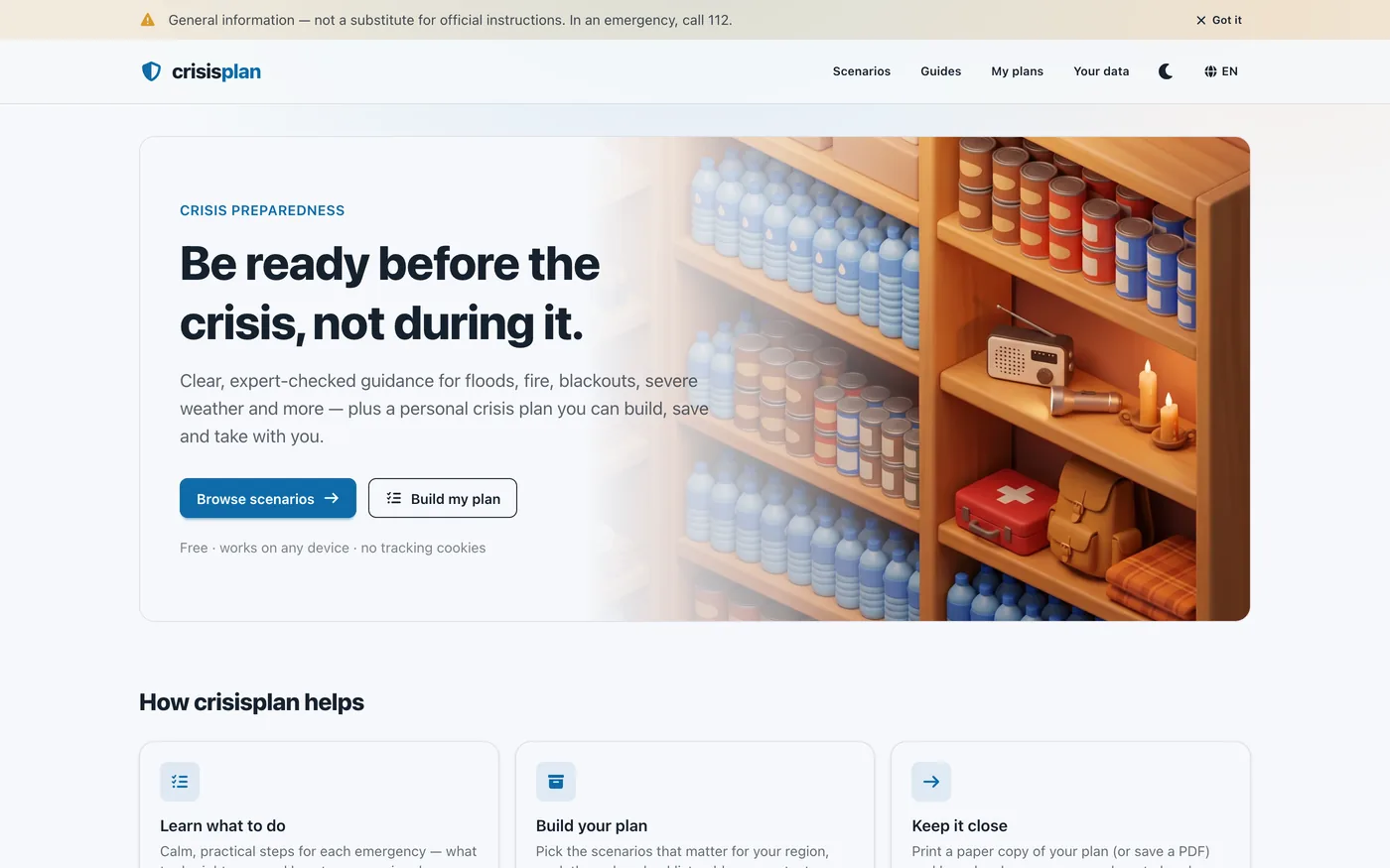
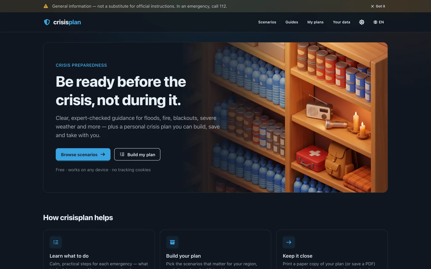
Be ready before the crisis, not during it.
Crisis preparedness for Germany: 13 sourced emergency scenarios, a crisis plan that never leaves your browser, and the official emergency numbers and hazard maps — free, no account.
Live at crisisplan.eu
About the project
crisisplan is a free preparedness app for households in Germany, in English and German. 13 scenarios — among them flood, fire, power outage, heatwave, pandemic, chemical and nuclear emergencies and armed conflict — say calmly what to do right now and what to arrange beforehand, each with its own checklist and sources from bodies such as BBK, the European Commission, WHO and IFRC. Three longer guides go deeper on the grab bag, 72-hour preparedness and public warning apps. Picking scenarios builds a personal plan with household members, contacts, near and far meeting points and your own tasks, and its printout merges tasks that several scenarios ask for into one line and adds a packing schematic for the grab bag. Each scenario also links the official maps that answer "is my street affected?" — the flood portals of the Länder, the DWD fire-danger index, the BfS radiation map — because a national risk level is an average, not an answer for your address. The app covers Germany on purpose: a country is only offered once its advice can be checked against the authorities of that country, and translated guidance reads exactly like local guidance while being wrong. Plans live only in the browser (IndexedDB) and can be backed up as JSON: no account, no server copy, no cookies. Because the site itself needs an internet connection to load, the printed plan is the copy that survives a real outage — and the app says so itself.
Highlights
- 13 sourced scenarios (BBK, EU, WHO, IFRC) with immediate steps, preparation and 148 checklist items, plus 3 guides
- Plan builder with household, contacts, meeting points and your own tasks — the printout merges duplicate tasks
- Grab-bag packing schematic: which item belongs in which zone, merged into one diagram for the whole plan
- Official hazard maps per scenario — Länder flood portals, DWD fire-danger index, BfS radiation map — plus the 112, 110 and NINA
- Plans stay in the browser (IndexedDB), JSON backup and restore — no account, no server copy, no cookies